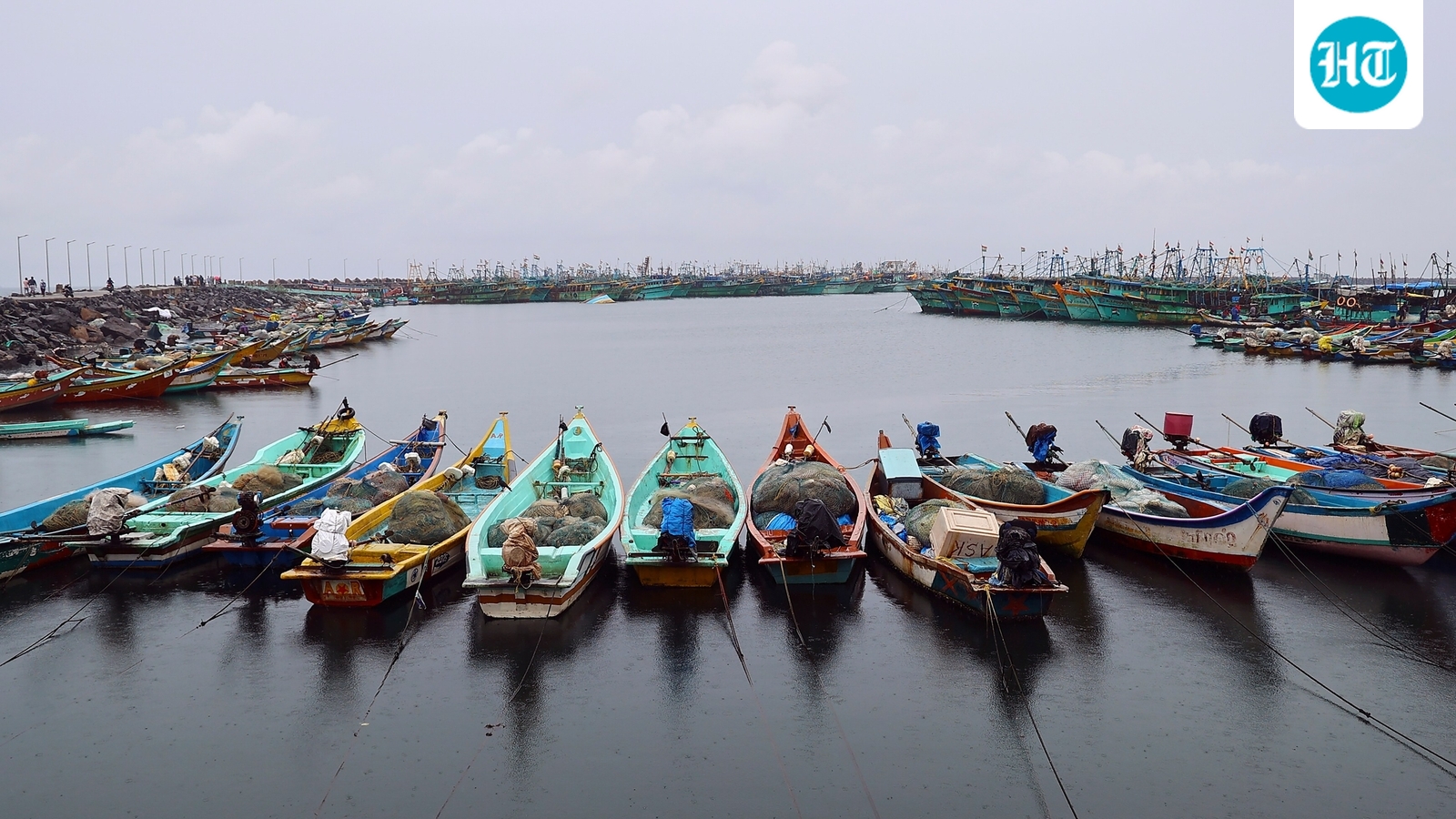
WHile the endure scheme in sound of malacca cane which intensified and became Cyclone ‘Senyar’ moved aside from the Indian coast, another low-pressure area over southwest Bay of Bengal has turned into a cyclonic storm, with landfall expected on Tamil Nadu, Puducherry and adjoining south Andhra Pradesh coast by November 30, according to the IMD.The India Meteorological Department (IMD) said in the early hours o Thursday Cyclone Senyar lay 850 km southeast of Car Nicobar - northernmost island of the Nicobar Islands - and was expected to weaken into a depression by evening.Another weather system, however, parallelly brewed over southwest Bay of Bengal and adjoining areas of southeast Sri Lanka and Equatorial Indian Ocean, according to the IMD.Cyclone ‘Ditwah’ formsIn its latest X post, IMD said Cyclone Ditwah was formed over the southwest Bay of Bengal near and lay close to Pottuvil - 700 km SSE of Tamil Nadu's Chennai.The system will move north-northwest (NNW) and reach off north Tamil Nadu–Puducherry–south Andhra Pradesh coasts by early November 30, IMD said.The cyclonic storm is named Cyclone ‘Ditwah’, a name submitted by Yemen, according to the roster which lists names of tropical cyclones over north Indian Ocean.“Cyclone Ditwah formed over the SW Bay of Bengal near 6.9°N/81.9°E at 1130 IST today. It lay close to Pottuvil, ~90 km SSE of Batticaloa and ~700 km SSE of Chennai. The system will move NNW and reach off North Tamil Nadu–Puducherry–south AP coasts by early 30 Nov,” IMD's X post on 2:56 pm read. Several Tamil Nadu districts, including Chennai, Nagapattinam, Thiruvallur, Thanjavur etc., were placed under yellow and orange alert by the IMD for November 27, 28 and 29.‘Rare’ Cyclone SenyarCyclonic storm Senyar, meanwhile, emerged in the Strait of Malacca, which is a narrow stretch of water located between Peninsular Malaysia and the Indonesian island of Sumatra, with Singapore at its southeastern end. The northwestern end of the Strait of Malacca opens directly into the Andaman Sea.Cyclone Senyar moved away from Indian territory and was reportedly headed towards Malaysia and was near Sumatra, according to Malaysian news portal NST, which quoted MetMalaysia director-general Mohd Hisham Mohd Anip.The weather expert and many others termed the Cyclone Senyar ‘rare’ as it is the first time a weather system of thE strength of cyclonic storm has ever been recorded in the Strait of Malacca."The last one, a tropical depression, occurred in 2017 and affected Penang. But for a system to reach tropical storm intensity, as we are now seeing near Sumatra, this is a first," Mohd Hisham Mohd Anip said.MetMalaysia has issued a tropical storm alert, with the system detected at latitude 4.5 degrees north and longitude 97.9 degrees east."It is moving west-southwest at 9kph with maximum sustained winds of 83kph. Its closest point to Malaysia is approximately 284km southwest of George Town, Penang."The intensification is expected to bring continuous heavy rain, strong winds and rough seas to several northern states," read the advisory.Cyclonic storm Senyar, now expected to impact Northern Sumatra with heavy rains and potential flooding. Has been described as 'rarest of rare' by many.One user on X with the accound handle @chennaisweather said “even if short lived this cyclone remains one of the rarest ever recorded near the Malacca Strait, making this a historic meteorological event.” “Based on the latest forecast track from the US Joint Typhoon Warning Center (JTWC) could become the first tropical cyclone in recorded history to make landfall in the western coast of Peninsular Malaysia by later midnight, and the second overall — after Typhoon #Vamei in 2001,” another user wrote on X.

Global News Perspectives
In today's interconnected world, staying informed about global events is more important than ever. ZisNews provides news coverage from multiple countries, allowing you to compare how different regions report on the same stories. This unique approach helps you gain a broader and more balanced understanding of international affairs. Whether it's politics, business, technology, or cultural trends, ZisNews ensures that you get a well-rounded perspective rather than a one-sided view. Expand your knowledge and see how global narratives unfold from different angles.
Customizable News Feed
At ZisNews, we understand that not every news story interests everyone. That's why we offer a customizable news feed, allowing you to control what you see. By adding keywords, you can filter out unwanted news, blocking articles that contain specific words in their titles or descriptions. This feature enables you to create a personalized experience where you only receive content that aligns with your interests. Register today to take full advantage of this functionality and enjoy a distraction-free news feed.
Like or Comment on News
Stay engaged with the news by interacting with stories that matter to you. Like or dislike articles based on your opinion, and share your thoughts in the comments section. Join discussions, see what others are saying, and be a part of an informed community that values meaningful conversations.
Download the Android App
For a seamless news experience, download the ZisNews Android app. Get instant notifications based on your selected categories and stay updated on breaking news. The app also allows you to block unwanted news, ensuring that you only receive content that aligns with your preferences. Stay connected anytime, anywhere.
Diverse News Categories
With ZisNews, you can explore a wide range of topics, ensuring that you never miss important developments. From Technology and Science to Sports, Politics, and Entertainment, we bring you the latest updates from the world's most trusted sources. Whether you are interested in groundbreaking scientific discoveries, tech innovations, or major sports events, our platform keeps you updated in real-time. Our carefully curated news selection helps you stay ahead, providing accurate and relevant stories tailored to diverse interests.
No comments yet.